Ask about Indiana mountains, and the answer needs a careful split. Indiana has no major mountain ranges, no alpine summits, and no terrain comparable to the Appalachians or Rockies.
Still, many named high points, hills, knobs, dunes, and rugged elevated areas appear across the state.
For travelers and some local Hoosiers, the better question is not simply “Does Indiana have mountains?”
Better wording is: Where can you find the best hills, climbs, overlooks, and rugged terrain in Indiana?
So, Does Indiana Technically Have Mountains?
Technically, Indiana mountains appear in peak databases and local place names. Geographically, Indiana does not have true mountains in the dramatic sense most travelers expect.
Hoosier Hill is the highest point in Indiana at 1,257 feet, or 383 meters. That height is modest compared with actual mountain states. Even Indiana’s more prominent high points have limited relief. Hoosier Hill has 297 feet, or 90 meters, of prominence.
Hickman Hill has 306 meters of elevation and 118 meters of prominence, making it one of the most prominent high points in the state.
Those figures support a balanced answer. Indiana has “mountains” by database classification, but actual mountain terrain is limited. Hills, ridges, dunes, escarpments, and knobs are the more accurate terms.
Hoosier Hill – Indiana’s Highest Point, Not Its Most Rugged Hike
Hoosier Hill gives Indiana mountains their official high point. Located in eastern Indiana near the Ohio border, it reaches about 1,257 feet, or 383 meters, above sea level.
Highpoint collectors often visit Hoosier Hill because it marks the top elevation in Indiana.
Tourism material also lists it as a destination, which makes it easy to include on a geography-focused road trip.
Key details make Hoosier Hill useful for travelers planning a stop:
- Elevation is about 1,257 feet, or 383 meters.
- Prominence is listed at 297 feet, or 90 meters.
- Recorded climbs total 108 in one peak database.
- Status as Indiana’s highest point makes it the best-known high-point stop in the state.
Visitors should not expect a dramatic summit hike. Hoosier Hill is more of a quick high-point visit than a strenuous climb. Its value is geographic rather than rugged.
Why Indiana Is Mostly Flat, But Not Completely
Indiana’s terrain changes by region.
Northern Indiana
Northern Indiana is mostly flat, with some rolling hills and post-glacial features. Glaciation shaped much of the region, leaving kettle lakes, terminal moraines, and sandy terrain near Lake Michigan.
Indiana Dunes National Park gives northern Indiana its strongest elevation experience. Dune climbs are short, but loose sand can make them feel steep and tiring.
Central Indiana
Central Indiana has rolling hills, although many areas are relatively flat.
Outdoor areas such as Mounds State Park, Shades State Park, Turkey Run State Park, McCormick’s Creek State Park, and Owen-Putnam State Forest add ravines, creek corridors, sandstone features, and uneven trails.
For hikers who want rugged terrain without traveling far south, Turkey Run and Shades are strong choices. Both parks feel more varied than the surrounding lowlands.
Southern Indiana
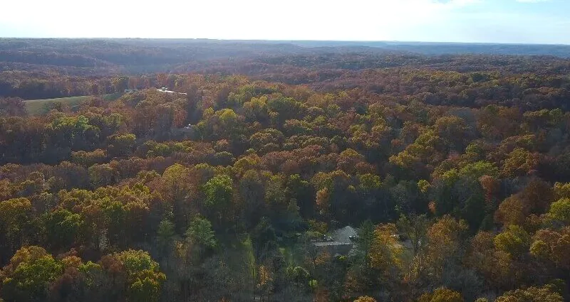
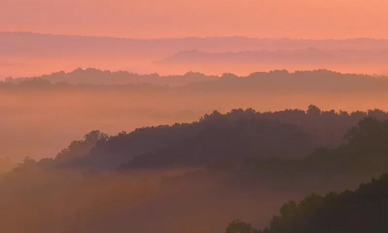
Southern Indiana is the best region for actual hills. It includes the state’s southern 33 counties and is by far the hilliest and most rugged part of Indiana.
Karst topography gives the region caves, sinkholes, limestone features, and quarry areas.
Forested ridges, knobs, steep roads, and uneven trails make southern Indiana the closest match for visitors searching for Indiana mountains.
Where to Find Actual Hills in Indiana
Indiana’s best hill country sits mainly in the south, but several northern and central destinations also offer meaningful elevation. Choosing the right place depends on the kind of climb or scenery a traveler wants.
Southern Indiana
Southern Indiana should be the first region to consider for real hills. Better elevation change, karst terrain, caves, limestone features, and wooded ridges create Indiana’s most rugged outdoor setting.
Several destinations belong high on a hill-country itinerary:
- Brown County State Park for wooded hills, overlooks, hiking, biking, and fall color.
- Hoosier National Forest for longer trails, ridges, knobs, karst terrain, and backcountry-style hiking.
- Yellowwood State Forest for forested hills near Brown County.
- Ferdinand State Forest for additional state forest terrain in southern Indiana.
Many of Indiana’s outdoor recreation areas sit in the southern part of the state, including Hoosier National Forest and several state parks. Most state forests in Indiana are also located there.
Brown County State Park
Brown County State Park is one of Indiana’s best-known hilly destinations. Rolling wooded hills, scenic overlooks, mountain biking routes, hiking trails, and fall foliage make it a practical answer for people asking about Indiana mountains.
Weed Patch Hill adds another reason to visit the area. It reaches 322 meters of elevation with 83 meters of prominence. A fire tower built in the 1930s gives visitors a viewpoint over the park, with access up to the entrance of the main deck.
Brown County is not a mountain range. Still, its terrain offers some of the most mountain-like scenery in Indiana.
Hoosier National Forest
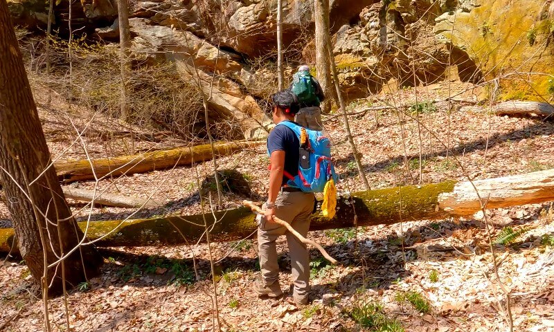
Hoosier National Forest offers some of Indiana’s best hill-country hiking. Located in southern Indiana, it is the state’s only national forest and contains 37 named mountains or high points.
Several details help explain why hikers connect the Hoosier National Forest with the Indiana mountains:
- More than 260 miles, or 418 kilometers, of hiking trails cross the forest.
- Browning Hill is listed as the highest named mountain in the forest.
- Mount Airie is listed as the most prominent named high point in the forest.
- Birdseye Trail, German Ridge Trail, Hickory Ridge Trail, and Morgan Ridge West Trail are among the popular routes.
- Charles C. Deam Wilderness Area is Indiana’s only designated wilderness area.
Forested ridges, knobs, hilltops, caves, and karst formations give the forest a rugged feel that many visitors do not expect in Indiana.
Indiana Dunes
Indiana’s elevated features are not limited to inland hills. Sand dunes near Lake Michigan create some of the state’s steepest-feeling climbs.
Indiana Dunes National Park contains 13 named high points. Mount Tuthill is listed as the highest high point in the park, while Mount Allinson is listed as the most prominent. Mount Holden rises 184 feet above Lake Michigan and is described as the second-highest dune in Indiana.
Park scale also matters for trip planning:
- About 15 miles, or 24 kilometers, of Lake Michigan shoreline.
- About 50 miles, or 80.5 kilometers, of hiking trails.
- Dune terrain that can feel harder than its elevation numbers suggest.
Dunes are not mountains, but climbing loose sand can be demanding. For visitors seeking a memorable Indiana climb, Indiana Dunes is one of the state’s strongest options.
Notable Indiana Hills, Peaks, and High Points
Indiana has many named hills, knobs, dunes, and high points worth knowing. Some are official high points. Others are local summits, hiking objectives, viewpoints, or entries in peak databases.
Important high points include:
| Indiana hill, peak, or high point | Elevation in feet | Prominence in feet |
|---|---|---|
| Hoosier Hill | 1,257 ft | 297 ft |
| Hickman Hill | 1,004 ft | 387 ft |
| Weed Patch Hill | 1,056 ft | 272 ft |
| Hell’s Point | 1,106 ft | 105 ft |
| Sand Hill | 1,076 ft | 112 ft |
| Buzzard Hill | 1,050 ft | 190 ft |
| Knob | 1,050 ft | 82 ft |
| Diamond Hill | 1,047 ft | 157 ft |
| Bearwallow Hill | 1,033 ft | 236 ft |
Climbing activity data adds more context.
One peak database reports 248 recorded Indiana climbs and lists November, July, and June as the top climbing months.
Closing Thoughts
Indiana does not have true mountains in the traditional sense. No major mountain ranges or alpine terrain define the state.
Indiana mountains are better described as modest high points, hills, knobs, dunes, escarpments, karst areas, and rugged southern ridges.
Still, Indiana is not completely flat. Hundreds of named high points appear in peak databases, including 608 named peaks or high points in one listing and 366 Indiana peaks in another.