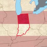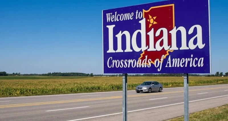
Indiana carries a well-known state motto: “the crossroads of America.” That nickname points to a long history built around movement, connection, and commerce.
Located in the Midwest, Indiana became a place where travelers, rail lines, highways, trucks, and businesses met on routes linking different parts of the United States.
In 1937, Indiana officially adopted “the crossroads of America” as its state motto through the General Assembly.
Indiana earned that name because its central location, major highways, historic roadways, railroad connections, and continuing role in national travel have made it a key meeting point for people and goods.
Indiana’s Central Location
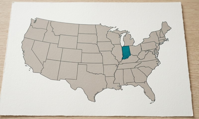
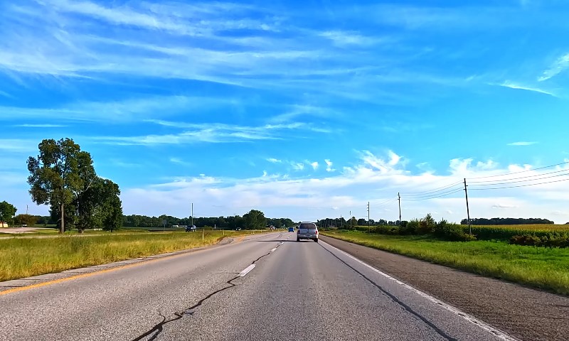
Indiana sits in the Midwest, which makes it a natural connection point between major parts of the country. People traveling across the United States often move through Indiana because its roads link nearby states, regional cities, and national shipping routes.
Indianapolis, the state capital, has special importance because several major interstate highways meet there.
Several major routes explain why Indianapolis is often connected with the nickname “the crossroads of America”:
| Interstate | Role in Indiana’s Transportation Network |
|---|---|
| I-65 | Links Indiana with major north-south travel. |
| I-69 | Adds another major route through the state. |
| I-70 | Carries major east-west traffic. |
| I-74 | Connects Indianapolis with other regional destinations. |
Those highways link Indiana with many directions of travel, including routes toward Chicago, Louisville, Cincinnati, St. Louis, and other major centers.
Southeastern Indiana roadways also help link Ohio and Kentucky with Indianapolis, giving the state an important role in regional movement.
Central location helps explain why travelers, truckers, and businesses depend on Indiana’s road system. Cars, buses, delivery vehicles, and freight trucks all use Indiana roads as part of local, state, and national travel.
As the crossroads of America, Indiana is more than a state people pass through. It is a major link in the country’s transportation network.
Role of Major Highways
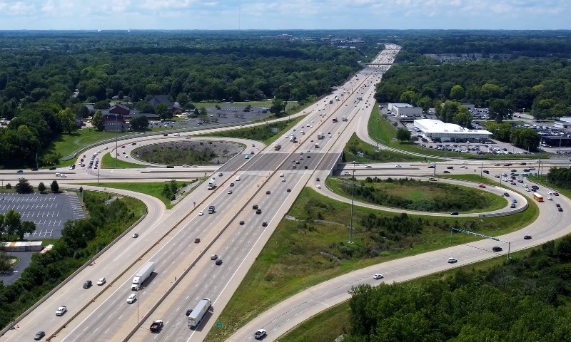
Indiana has an unusually dense interstate highway network. Measured by square miles, Indiana has more miles of interstate highway than any other state.
That fact strongly supports the motto “the crossroads of America” because highways are a major part of the state’s identity.
Major highways move people, goods, and services across Indiana and across the nation. Interstate routes allow commuters to reach jobs, families to travel, visitors to enter cities, and companies to ship products.
Indianapolis became a major highway hub because several interstate routes cross in and around the city. Historians often explain the nickname by pointing to those highways and the way they connect Hoosiers with the rest of the United States.
National travel depends on Indiana’s road system in several practical ways:
- Food shipments often travel on Indiana routes.
- Machinery and manufactured products move across the state.
- Retail goods depend on fast highway access.
- Building materials often travel through Indiana by truck.
Indiana is not only a place for local traffic. Trucks carrying food, machinery, retail products, building materials, and other goods often rely on Indiana routes.
U.S. Highways 40 and 41
Older federal highways give another reason for the nickname. Before the modern interstate system, U.S. Highways 40 and 41 helped shape travel and settlement patterns. Both were part of the original federal highway system in 1926, and both helped open the West for settlement.
Their crossing in Terre Haute became known as a “Crossroads of America.” That crossing gives Indiana a transportation identity that began before today’s interstate highways. It also shows that the motto is not tied only to Indianapolis.
Terre Haute has an important place in the story because U.S. Highways 40 and 41 made it a major meeting point for older national routes.
Historic roadways prove that Indiana’s crossroads identity developed over time. Early routes moved settlers, goods, mail, and business activity.
Later transportation growth added more layers to that identity:
- Railroads expanded Indiana’s role in passenger and freight movement.
- Interstate highways later connected older travel patterns with modern routes.
- Commercial routes helped make Indiana important to the national movement.
As the crossroads of America, Indiana has connected people and commerce across different eras of American transportation.
Indianapolis as a Planned Capital and Transportation Hub

Indianapolis was intentionally selected and designed to function as Indiana’s capital. Indiana became a state in 1816, and the U.S. Congress donated four sections of federal land for a permanent seat of state government.
On January 11, 1820, the Indiana General Assembly created a committee to choose the site of the new capital.
During the next 25 years, federally funded highways and private railroads linked Indianapolis with the surrounding region.
By 1853, Indianapolis Union Station had opened, helping the city grow as a transportation center. Rail connections made Indianapolis more important for passengers, freight, and commerce.
Roads and rail lines together helped turn the city into a major hub and supported Indiana’s identity as the crossroads of America.
Economic Importance of the Crossroads
Indiana’s roads carry heavy use by both local and out-of-state travelers. About 81 billion vehicle miles were traveled on Indiana roads in 2015. At least 14% of all vehicle miles traveled on Indiana roads came from out-of-state motorists.
Since 14% of 81 billion miles is a large share of road use, outside traffic has a major impact on Indiana’s transportation system.
County-level traffic numbers show how heavily several Indiana road systems were used in 2015:
| Area | Commercial and Local Traffic Logged |
|---|---|
| Dearborn County | More than 1.9 million miles |
| Decatur County | Nearly 1.5 million miles |
| Ripley County | More than 1.1 million miles |
| Jefferson, Jennings, Ohio, and Switzerland counties combined | More than 2.3 million miles |
Trucking adds even more importance to Indiana’s role as the crossroads of America. Many industries rely on trucks to move goods across Indiana and across the country. Nearly every industry depends on truck transportation for deliveries, supplies, and finished products.
Semi-trucks are responsible for nearly 40% of roadway damage because heavy cargo puts pressure on pavement and bridges.
Commercial transportation makes Indiana important to both the state economy and the U.S. economy.
Freight routes help factories, stores, farms, warehouses, and consumers stay connected. Because so much traffic and freight pass through the state, Indiana’s transportation network has national value.
Why the Nickname Still Matters Today
Indiana’s location still matters for travel, shipping, business, and infrastructure. Its nickname connects past settlement routes, railroad growth, interstate highways, and modern commercial transportation.
Heavy road use also creates responsibility. Indiana must maintain roads and bridges used by residents, visitors, truckers, and businesses. Out-of-state traffic adds pressure to the system, and truck traffic can create extra wear because of heavy cargo.
Road funding matters because Indiana’s network carries traffic that affects both Hoosiers and people traveling across the country.
A 2017 infrastructure plan was described as the largest investment in infrastructure in Hoosier history.
Starting in July 2017, that plan made an additional $357 million in state road funding and $260 million in local road funding available.
Those investments show that the crossroads of America is not only a nickname. It also creates a duty to care for roads that carry local, regional, and national traffic.
Summary
Indiana is called the crossroads of America because it has long functioned as a meeting point for roads, railways, travelers, and commerce.
Its central Midwest location makes it a natural connector between regions. Indianapolis strengthens that identity through I-65, I-69, I-70, and I-74.
Terre Haute also helps explain the nickname because U.S. Highways 40 and 41 crossed there and gave Indiana an earlier crossroads identity.